USGS topo maps have been the gold standard in terrain-based map information for decades, so it?s neat to see them offered for free. The fact our government is using Google Maps to create a zoomable, pannable, online topo map is also cool. It?s a pleasant change from the usual, half-baked solutions that .gov sites normally offer.
It also invites the inevitable comparison to Google?s own ?terrain? view which, at first glance, is hella better looking. The comparison is particularly interesting because I?m pretty sure Google?s view was generated from the USGS topo data. (there are some suspicious oddities about Google?s view right about where the USGS topo maps intersect). The basic elevation contours are the same and the views have the same roads and fireroads. But only the USGS maps show trails, buildings, mines, or other landmarks that make these types of maps so fun and useful.
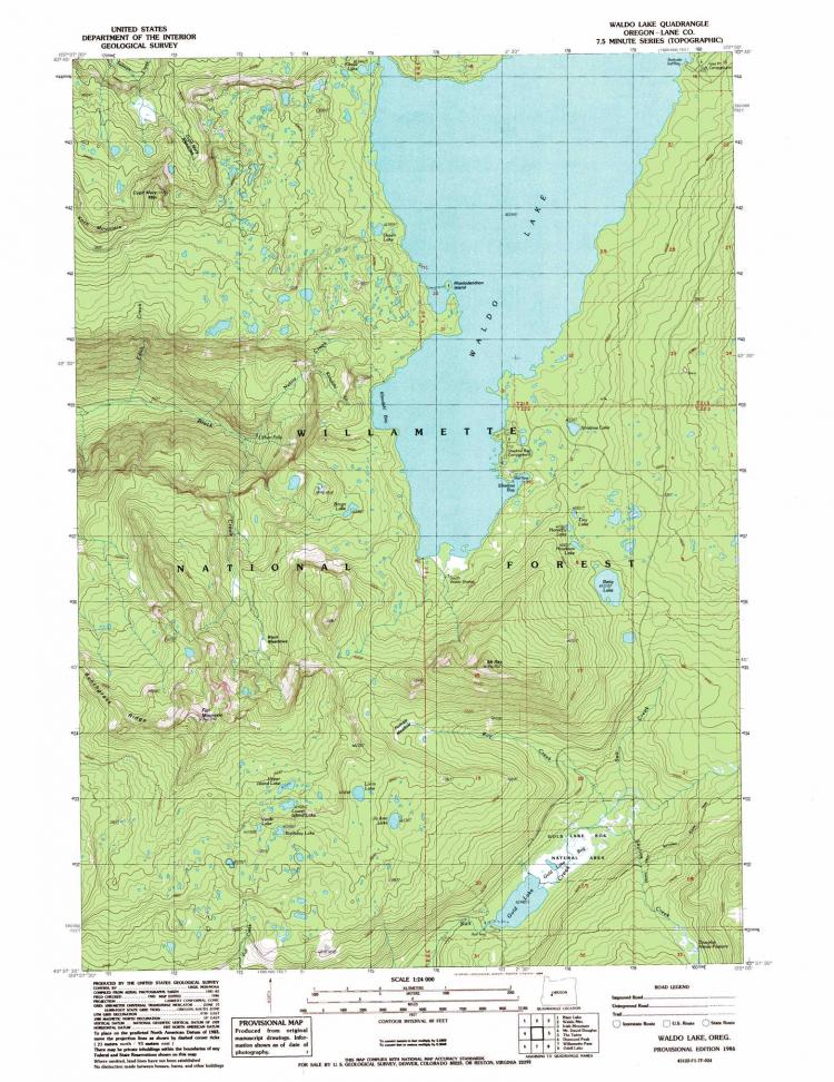
Unfortunately the topo map I?m looking at (the Mt. Bachelor quad) hasn?t been updated in 27 years, so trusting it to be accurate in any of these details would be foolish. Google could have probably included this information on it?s terrain view but likely decided to avoid the legal liability issues involved in having incorrect, out-of-date landmarks on it?s mapping service. The USGS topo maps have clear statements about how and when the map was last updated on each quadrangle, something Google lacks.
This dated-ness has long been a complaint of topo maps or, if not a complaint, at least an accepted weakness. It leads one to speculate about whether there is a better way to keep topo data current, a way for our government to, say, crowdsource out the work of doing field surveys. Imagine an iPhone app that allowed you to tag your current location with an icon and a comment and submit that to a [government?] database of topo data. This would allow local organizations like COTA and CONC to maintain the locations of new ski shelters and mountain bike trails in near real-time, rather than waiting 20 years for the next USGS update.
In fact, if the USGS focused on managing raw map data and providing an open API to that data, and left the actual rendering of maps to companies like Google, it might make for an interesting paradigm shift in the world of cartography.
[Hmm... one could argue this has already started to happen as small groups turn to Google's Maps API to create custom maps for things like specific types of geodata: trails, geocaches, radio tower locations, etc.]
I tried and tried to find something similar up here in Canada, but either it is not available or the NRC website is such a confusing mess that it confounded me.
I tried and tried to find something similar up here in Canada, but either it is not available or the NRC website is such a confusing mess that it confounded me.
I downloaded one but it was corrupted. It's my slow connection. If I can open a map PDF in Photoshop I can save it as a jpeg. The one I dled was about 13 gigs and some are larger.
__________________
I'll believe corporations are persons when Texas executes one.: LBJ's Ghost
I like to use Yahoo maps (not really a topo map) it helps to find roads & places way out in the woods when I go hunting.
Hey RiponredTJ this works in Canada too!
You can enter an address close to where you want to see, then click up, down, left or right to center on just the place you are wanting (or just click on it) then scroll forward to zoom in. Then go to the upper right to the map drop down & click satellite or hybrid for satellite with the roads.
For the US there is also the National Atlas. You can do maps with layers. National Atlas home page
This looks very promising. Layers offer many options including fewer distractions from over crowded map entries.
Quote:
What's new and what's next?
The staff of the National Atlas at the U.S. Geological Survey is hard at work on new products and services. Whether you have a casual interest in the Nation's geography or are a professional geospatial data user, we have news for you.
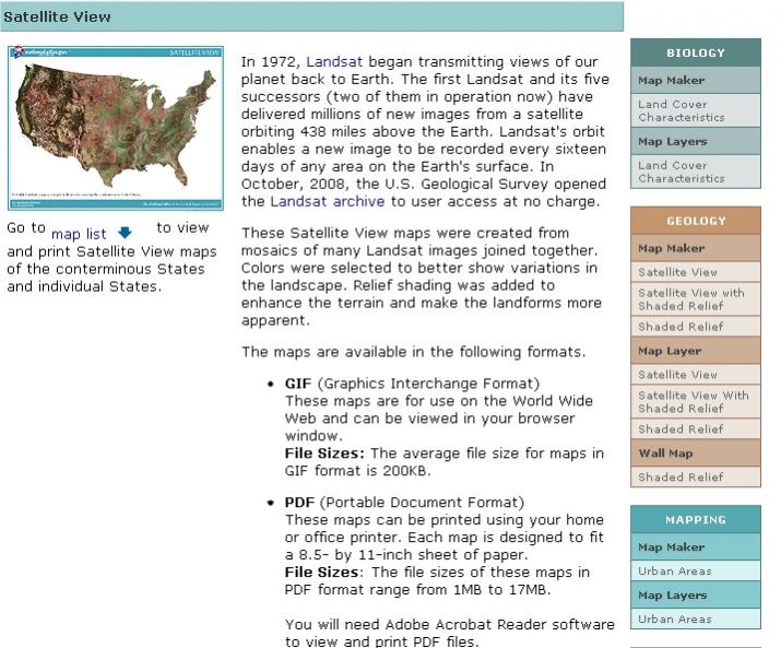
Our number of Printable Maps grew substantially when we introduced satellite views of individual States. These maps combine Landsat imagery with terrain data. For educators and map lovers, we have added ten maps to our Set of Topographic Maps Illustrating Physiographic Features. The viewer for this set was improved as well. We are also working on a related project to offer topographic maps and aerial photographs that illustrate a variety of wetland environments. We improved the design of our Dynamic Map that shows the spread of the invasive zebra mussel and updated it, too.
By the end of this summer, we plan to release new maps and articles on America's energy resources. There will be a new way to preview detailed renditions of recent Wall Maps. New maps will be offered through the Map Maker as we continue to prepare map layers from decennial census data and from the work of our many Federal partners.
Of course all of these Raw Data will continue to be documented and offered for download at no cost for our professional customers. We are participating in a test of cloud computing technology to continue delivering these data to you.
Also for professional consumers of geographic data we have a couple of exciting announcements. First, after years
in development, the National Atlas will soon offer a new set of fundamental digital cartographic data at a scale of 1:1,000,000. These map layers will replace the data we've offered at two million-scale since the revival of the National Atlas in 1997.
These maps were compiled and generalized from authoritative sources and were then tightly integrated.
Boundaries, transportation, drainage, and population centers are included. To the greatest practical extent, these frameworks have been edge aligned with data at the same scale from national mapping programs in Canada and Mexico to form a digital cartographic framework for all of North America. The data will be offered with attributes from both the National Atlas and the international Global Map project. Our drainage network is derived from the National Hydrography Dataset at 1:100,000-scale and retains full network connectivity and flow direction.
For those who have invested in desktop mapping or geographic information systems or who just like to create map mashups using open protocols, we have more news. The National Atlas will update and fully replace its current sets of image Web Map Services. These allow anyone to view National Atlas maps in their own programs simply by adhering to open standards for accessibility.
August 2011
Free Printable Topo Maps
US Geological Survey Maps
Free Aerial Maps
GPS Garmin Topo Maps
USGS Topo Maps
Satellite Images
Terraserver
Aerial View of My House
Colorado Topo Maps
Free Topo Map of California
Zoom in Using Satellite
Topo Map Symbols
Download Free Maps
Free Fishing Maps
Google Earth
Free Downloadable GPS Maps
Geographic Maps
Land Maps
Pennsylvania State Game Land Map
Map of All the Arkansas Rivers
Country: United States Canada United Kingdom Australia ----- Afghanistan Albania Algeria American Samoa Andorra Angola Anguilla Antigua & Barbuda Argentina Armenia Aruba Australia Austria Azerbaijan Bahamas Bahrain Bangladesh Barbados Belarus Belgium Belize Benin Bermuda Bhutan Bolivia Bosnia and Herzegovina Botswana Brazil Brunei Darussalam Bulgaria Burkina Faso Burundi Cambodia Cameroon Canada Cape Verde Cayman Islands Central African Republic Chad Chile China Colombia Comoros Congo Cook Islands Costa Rica Ivory Coast Croatia Cuba Cyprus Czech Republic Democratic Republic Congo Denmark Djibouti Dominica Dominican Republic East Timor Ecuador Egypt El Salvador Equatorial Guinea Eritrea Estonia Ethiopia Falkland Islands Faroe Islands Fiji Finland France French Guiana French Polynesia Gabon Gambia Georgia Germany Ghana Greece Greenland Grenada Guadeloupe Guam Guatemala Guinea Guinea-Bissau Guyana Haiti Honduras Hong Kong Hungary Iceland India Indonesia Iran Iraq Ireland Israel Italy Jamaica Japan Jordan Kazakhstan Kenya Kiribati Korea (North) Korea (South) Kuwait Kyrgyzstan Laos Latvia Lebanon Lesotho Liberia Libya Liechtenstein Lithuania Luxembourg Macau Macedonia Madagascar Malawi Malaysia Maldives Mali Malta Marshall Islands Martinique Mauritania Mauritius Mayotte Mexico Micronesia Moldova Monaco Mongolia Montserrat Morocco Mozambique Myanmar Namibia Nauru Nepal Netherlands Netherlands Antilles New Zealand Nicaragua Niger Nigeria Northern Mariana Islands Norway Oman Pakistan Palau Panama Papua New Guinea Paraguay Peru Philippines Poland Portugal Puerto Rico Qatar Reunion Romania Russia Rwanda St Kitts and Nevis St Lucia St Vincent & Grenadines Samoa San Marino Sao Tome and Principe Saudi Arabia Senegal Seychelles Sierra Leone Singapore Slovak Republic Slovenia Solomon Islands Somalia South Africa Spain Sri Lanka Sudan Suriname Swaziland Sweden Switzerland Syria Taiwan Tajikistan Tanzania Thailand Togo Tonga Trinidad and Tobago Tunisia Turkey Turkmenistan Turks and Caicos Islands Tuvalu Uganda Ukraine United Arab Emirates United Kingdom United States Uruguay Uzbekistan Vanuatu Vatican City Venezuela Vietnam Virgin Islands (British) Virgin Islands (U.S.) Yemen Zaire Zambia Zimbabwe
Street:
City/Place:
State: AL AK AR AZ CA CO CT DC DE FL GA HI IA ID IL IN KS KY LA MA MD ME MI MN MO MS MT NC ND NE NH NJ NM NV NY OH OK OR PA RI SC SD TN TX UT VA VT WA WI WV WY Zip: +
Change the way you explore. Trimble Outdoors Navigator is a GPS navigation and mapping app for all your outdoor and backcountry adventures. View more than 68,000 topo maps in US and Canada, as well as aerial, terrain, street and hybrid maps. Mark waypoints, capture photos and video and store all your trip info on the Trip Cloud, a wireless service that allows you to access your trips on any device.
This app is BEST FOR: GPS route finding; map and compass navigation; offline topo maps; recording trips like hiking, camping, paddling, ATV riding, offroading
Thank you, Sir.
Downloaded Trimbe to my phone and bookmarked Terraserver. Thank you.
__________________
"Never forget that everything Hitler did in Germany was legal. Never forget that everything the Founding Fathers did was not." Martin Luther King, Jr.


 Linear Mode

