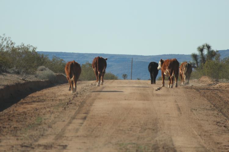
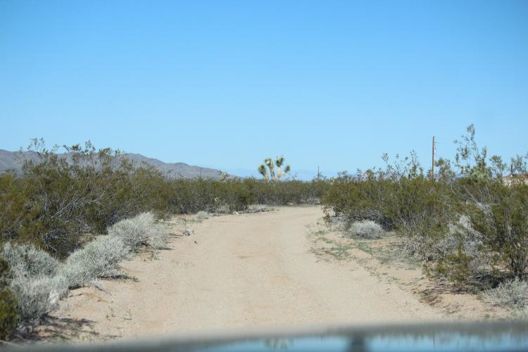
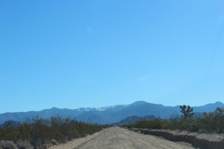
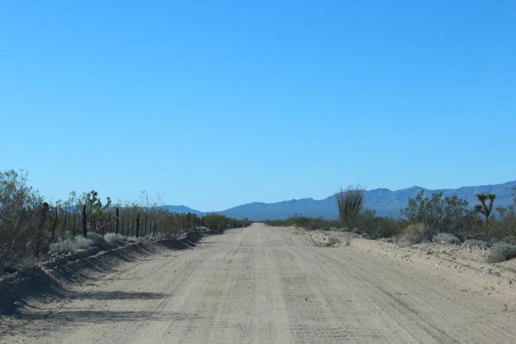
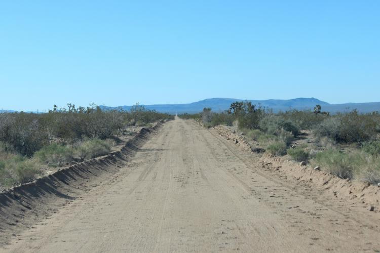
Here's the way it goes fetching water, sorry, no highways, just dirt roads. The traffic jam is compliments of the local rancher, the mirror pics show the tank empty then full, and then, "AH, good to be finally home in the driveway" for the last two pics.
Here's where I was born and grew up......working on our (Grandad owned it)farm and attending school..........
Here's a Google Map (Earth View) of this area where I grew up........
Teaberry Road between Ronceverte and Lewisburg......State Route 45..........
You may have to enter TEABERRY RD, RONCEVERTE, WV to view the area.....
AND click on SATELLITE OR EARTH (IF you have the "Plug In" downloaded onto your computer)..
and, of course, you can enter yoyur address and do the same for where you live...........
If you already have the Google Earth Plugin on your computer, you can hold the Ctrl key down and holding down the mouse coursor you can
rotate, tilt, zoom in and out, or view the picture any way you would want to..........
neat feature...and, in the upper left corner of the map, you can click the little "arrow head" and
hide the "directions" panel and view the map full screen.let me know if it works for you.......
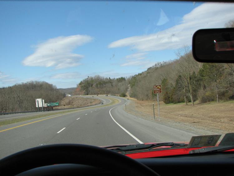
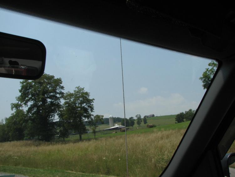
Just a run into the city . . . . bout an hour one way (25 miles one way dirt)
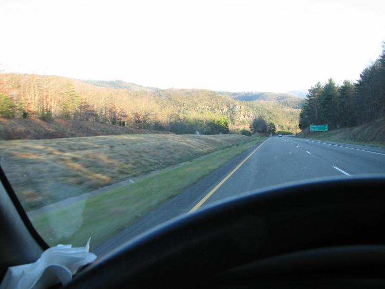
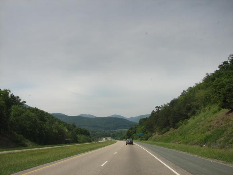
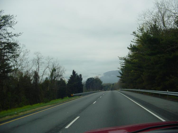
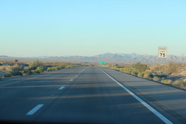
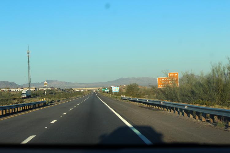
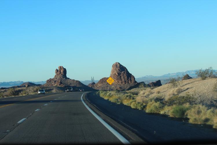
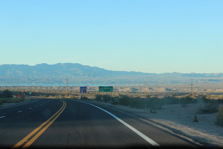
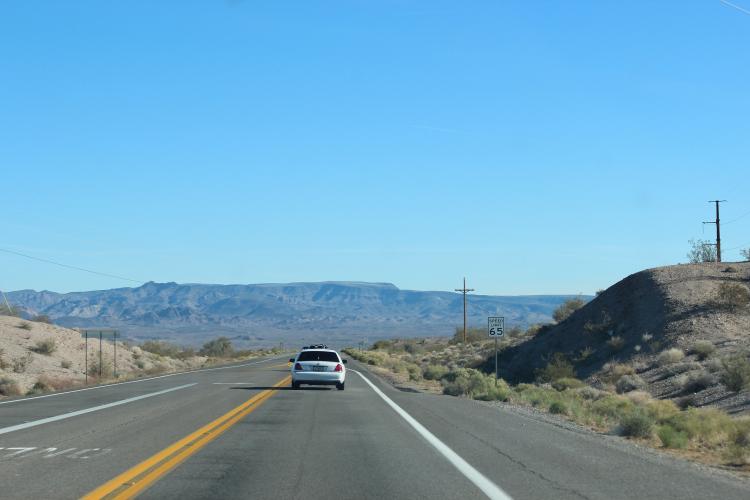
I've been on I-40 traveling E on return trip to VA from Vegas.....and, I've
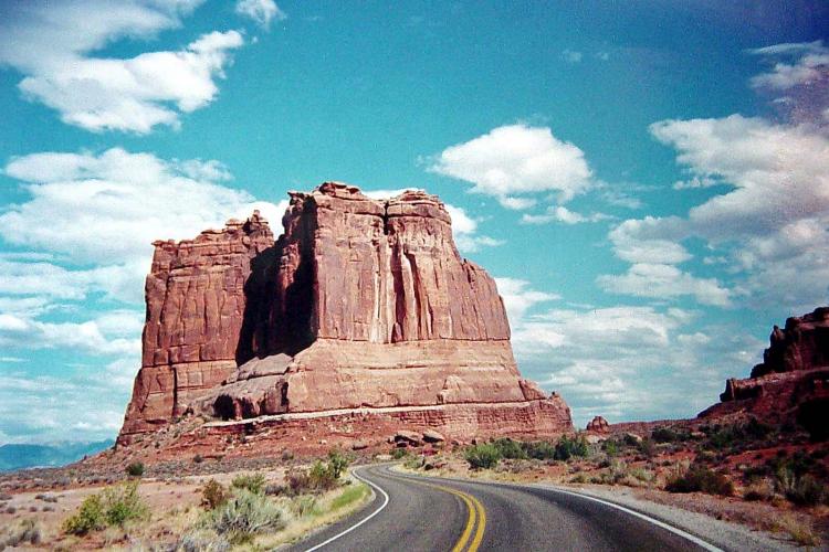
been to Lake Havasu City to see the London Bridge......is the Dirt road your property????........
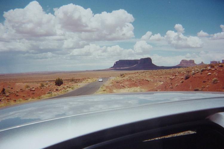
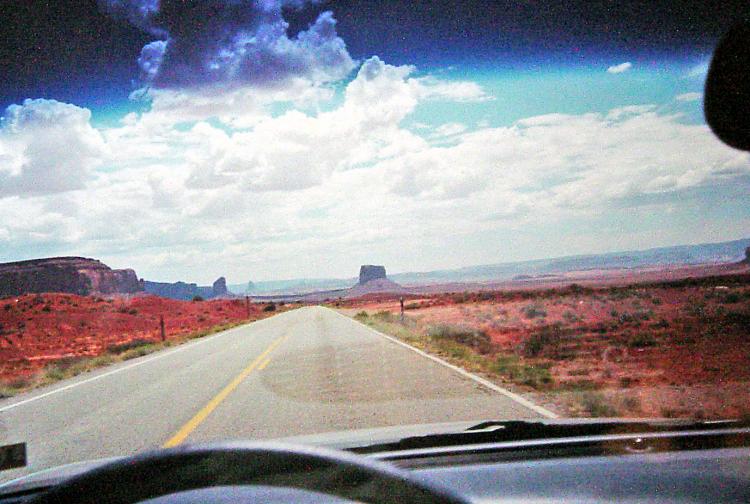
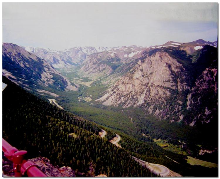
Here's a few more I took while traveling through Monument Valley and on the Beartooth Pass Hwy.......


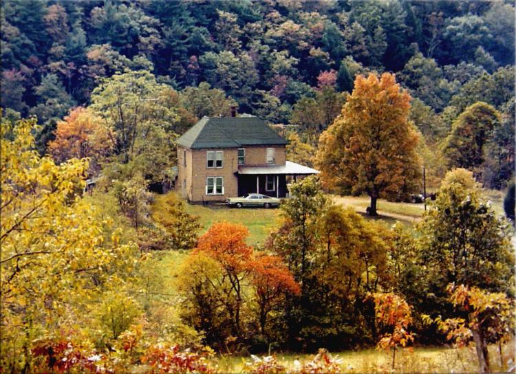

 ........THIS IS "HOME COUNTRY"........
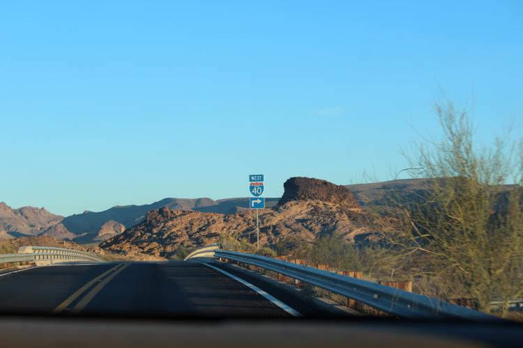


 Linear Mode

